 CUBE Chatshaala - Discussion Summary
Date: 24 October 2026
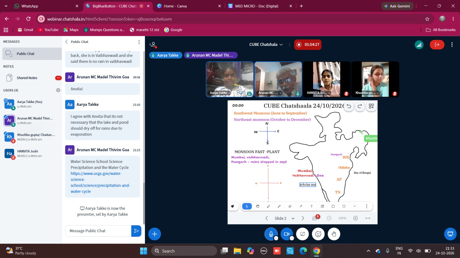
The session on 24 October 2026 took up a question that was easy to see from the window that evening: why does the rain behave so differently from one part of India to another at this time of year? Sailekshmi began as presenter, and Aarya Takke took over the whiteboard from 21:24. According to the shared notes, the participants were Sailekshmi, Manali Bhujade, Kiran, Arunan MC, Khushbu Gupta of Chaitanya Science and Arts College, Pamgarh, Sumanshu Sinha, Aarya Takke, Minakshi Sahu and Himanshu Joshi.
The conversation opened with a local observation. Arunan MC asked whether it was raining in Thiruvananthapuram. Sailekshmi replied that it was not raining at that moment, but that it had rained until about 2:00 pm that afternoon. That small exchange set the tone for the evening, because the discussion stayed anchored in what members had actually seen or heard from their own places.
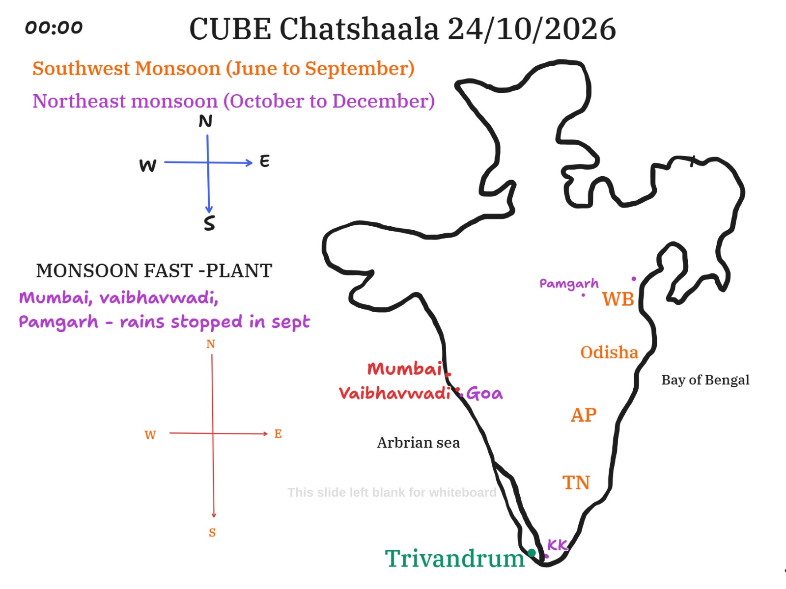
The first whiteboard slide placed the seasons on a hand-drawn map of India. It named the Southwest Monsoon (June to September) and the Northeast Monsoon (October to December), and it included compass diagrams to keep the directions clear. A heading read “Monsoon fast - plant”, and beneath it were the places Mumbai, Vaibhavwadi and Pamgarh, with the note “rains stopped in Sept”. The map marked Mumbai, Vaibhavwadi, Goa, Pamgarh, Trivandrum and Kanyakumari (KK), along with the east-coast states West Bengal, Odisha, Andhra Pradesh and Tamil Nadu. The Arabian Sea and the Bay of Bengal were labelled on either side of the peninsula. As I read it, the colours separate places that were already dry by September from those still receiving rain in October. This is my interpretation of the board, and I may be missing the presenter’s intent.
Manali Bhujade added several points through the chat while her audio was down. She spoke of the retreating monsoon, named the Bay of Bengal, and said that southeast India is the main region affected by the retreating monsoon. She also described it as the “coming back” of the monsoon. She noted that the monsoon is usually the same for all of India and comes from the Arabian Sea. Khushbu Gupta pointed to Kanyakumari in Tamil Nadu. Aarya Takke shared a first-hand report from her grandmother in Vaibhavwadi, who told her three days earlier that no rain was falling there. Arunan MC then shared a news item about an IMD alert for several districts of Kerala on 25 and 26 October. The same state where it had stopped raining for the day was about to receive another heavy spell.
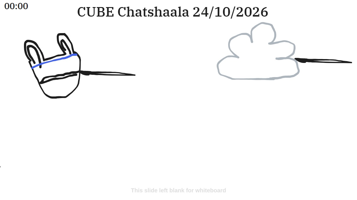
The second slide moved from geography to mechanism. The board showed a container-like sketch with a blue line, which I read as a water level, and a separate cloud, each with a pointer line. It appeared to be set up to test an idea that came up in the discussion. Aarya Takke said she agreed with Anvita that lakes and ponds do not need to dry up for rain to fall through evaporation. Arunan MC closed the session by sharing the USGS page “Precipitation and the Water Cycle”, which explains that clouds contain droplets too small to fall, that droplets form on dust, salt or smoke particles, and that millions of cloud droplets are needed to make one raindrop. It also notes that clouds are constantly evaporating and condensing, and that a droplet falls only when it grows heavy enough to beat the updrafts holding the cloud up.
 Provocative Questions
-
If the Southwest Monsoon ends in September, why was Thiruvananthapuram still getting afternoon rain on 24 October, and why was Kerala under an alert for the days that followed?
-
The board shows two seasons and two seas. How does the wind direction change between the Arabian Sea branch and the Bay of Bengal branch, and what does that do to rainfall on the east coast?
-
Mumbai, Vaibhavwadi and Pamgarh saw their rains stop in September, while Tamil Nadu and Kerala were still wet. What do these places have in common, and what sets them apart from the south?
-
A single pond can be dry while a cloud overhead pours down rain. Where does the water in that cloud actually come from, and how far has it travelled?
-
The USGS page says millions of cloud droplets combine to make one raindrop. What stops this from happening in every cloud we see?
-
Is it right to speak of the monsoon “retreating”, or would “changing direction” describe it better? What does each word make us assume?
-
If a grandmother in Vaibhavwadi reports no rain and the IMD forecasts heavy rain in Kerala, how much can a single local report tell us about a monsoon that covers a whole subcontinent?
-
How could a group like ours, spread across many centres, design a shared rainfall record that would let us see the monsoon’s withdrawal day by day?
 What I Have Learned
The most important lesson for me was that the monsoon is not a single event with one start and one finish. There are two seasons, the Southwest Monsoon from June to September and the Northeast Monsoon from October to December, and the second is the reason the south and east coasts stay wet while the west and centre dry out.
I also learned how much the board and the chat worked together. The map gave the pattern, but it was the reports from Thiruvananthapuram, Vaibhavwadi, and Kerala’s alert that made it believable. Observations from our own places are real evidence, even when they are small.
The most useful scientific point came from the second slide and the USGS page. Rain does not depend on the lake or pond beneath a cloud. It depends on moisture that has travelled in on the wind, on tiny particles for droplets to form around, and on the way droplets grow and collide until they are heavy enough to fall. This changes how I will explain rain to others.
Finally, I learned to check my assumptions about maps. A hand-drawn board is helpful, but position and spelling still need care, and I noticed several places where the drawing was only approximate.
 TINKE Moments (This I Never Knew Earlier)
-
India has two monsoon seasons, not one. The way the board lined up June to September against October to December made it clear that the end of one season is not the end of rain for the whole country.
-
The monsoon can “come back”. Manali Bhujade’s description of the retreating monsoon as its coming back showed that the withdrawal phase can still bring heavy rain, especially to the southeast.
-
A lake does not have to dry up to supply rain. This came through when Aarya Takke agreed with Anvita, and it corrects a very natural intuition that water lost from a pond is the water that falls back down locally.
-
A raindrop is the result of millions of droplets. The USGS page makes this concrete and explains why most clouds do not rain.
-
Rain can differ widely between places only a few hundred kilometres apart. A report that rain had stopped in Vaibhavwadi, a day with rain in Thiruvananthapuram, and an alert across Kerala all fit together once the seasons are understood.
 Gaps and Misconceptions
Gaps
-
The discussion did not state clearly which sea the Northeast Monsoon draws its moisture from. The Bay of Bengal was named, but the mechanism linking it to the southeast coast was not worked through.
-
The whiteboard heading “Monsoon fast - plant” was not explained in the material available, so its meaning is unclear to me.
-
The container-and-cloud sketch on the second slide was drawn without labels, so its purpose has to be inferred. A short caption would help later readers.
-
The IMD alert was shared as a news link, but the details (which districts, which level of alert, and how many days) were not read out or compared with the map.
-
Nothing was said about why Mumbai, Vaibhavwadi and Pamgarh see their rain stop in September while the south keeps getting it. The pattern was drawn, but the cause was not discussed.
Misconceptions
-
“The monsoon is usually the same for all India and comes from the Arabian Sea.” This is only partly true. The Southwest Monsoon does bring most of the rain from the Arabian Sea side, but the Northeast Monsoon in October to December is a different system, and it is the main source of rain for parts of the southeast, such as Tamil Nadu.
-
“Rain needs a lake or pond to dry up first.” Evaporation from a local pond is not what feeds the cloud above it. Moisture is carried in over long distances, and precipitation depends on condensation and droplet growth, as the USGS source explains.
-
“No rain in one place means the monsoon is over.” The report from Vaibhavwadi was accurate, but it describes one location. The same week saw rain in Thiruvananthapuram and a heavy-rain alert for Kerala.
-
“A cloud is a stable object that holds water until it falls.” USGS describes clouds as constantly evaporating and condensing, with most of the condensed water not falling at all.
-
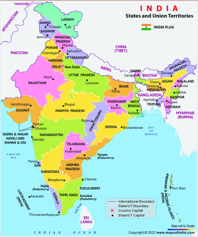
Small map issues on the board. “Arbrian sea” should read Arabian Sea. Pamgarh was placed close to West Bengal and Odisha on the drawing, though it is in Chhattisgarh, so the dot should be treated as approximate. “Keralam” in the news link is the officially proposed name for Kerala.
 Photographs during Chatshaala

 Referance